31. Which of the following phenomena is supposedly associated with global warming ?
Correct Answer:-D ( El Nino Modiki )
Description:- El Nino Modiki is associated with global warming.
32. Which of the following is a renewable resource ?
Correct Answer:-D ( Forests )
Description:- Forest is a renewable resource.
33. Taiga means :
Correct Answer:-B ( Coniferous forests )
Description:- Taiga is a biome characterized by coniferous forests consisting mostly of pines, spruces and larches. It is the world’s largest terrestrial biome.
34. Virtually treeless, sparse vegetation is found in :
Correct Answer:-C ( Tundra )
Description:- Polar climates feature long and dark winter periods with extremely cold temperatures. Rainfall is low, and the deeper soil layers stay frozen all year round. These harsh conditions combined result in treeless, sparse vegetation, which includes shrubs, lichens and mosses, during summer months. This typical vegetation linked to polar climates is called tundra.
35. Name the condition which influences the development of plants into distinctive forms.
Correct Answer:-A ( Climatic conditions )
Description:- The development of plants into diverse and distinctive forms is mainly due to climatic factors such as temperature, precipitation, etc, which are in turn responsible for the variations in soil types. As seen in Koeppen’s classification, we can identify different climates by the types of plants that grow there.
36. Species which has restricted distribution is called
Correct Answer:-B ( Endemic )
Description:- Endemism is the ecological state of a species being unique to a defined geographic location, such as an island, nation, country or other defined zone, or habitat type. Species found in such restricted geographical area are called endemic species.
37. The space retaining life in any form is called
Correct Answer:-B ( Biosphere )
Description:- The biosphere is the global ecological system integrating all living beings and their relationships, including their interaction with the elements of the lithosphere, geosphere, hydrosphere, and atmosphere. It is termed the zone of life on Earth.
38. Which of the following is a Biological method of soil conservations ?
Correct Answer:-A ( Contour farming )
Description:- The biological methods of soil conservation include contour farming, strip cropping, tillage operation, mulching, etc. Contour farming is practised in the hilly regions or on the slopes. The contours (circular or peripheral furrows) catch the downwardly moving water until it is absorbed in the soil. It reduces run off, saves more water for crops, and reduces soil erosion.
39. With what bio-region is the term ‘‘Steppe’’ associated ?
Correct Answer:-A ( Grasslands )
Description:- The Steppe is a dry, cold, grassland that is found in all of the continents except Australia and Antarctica. It is mostly found in the USA, Mongolia, Siberia, Tibet and China. is usually found between the desert and the forest.
40. Tropical rain forest is characterised by
Correct Answer:-C ( Maximum biodiversity )
Description:- Tropical rainforests exhibit high levels of biodiversity. Around 40%’ to 75%’ of all biotic species are indigenous to the rainforests.[6] Rainforests are home to half of all the living animal and plant species on the planet. Two-thirds of all flowering plants can be found in rainforests.
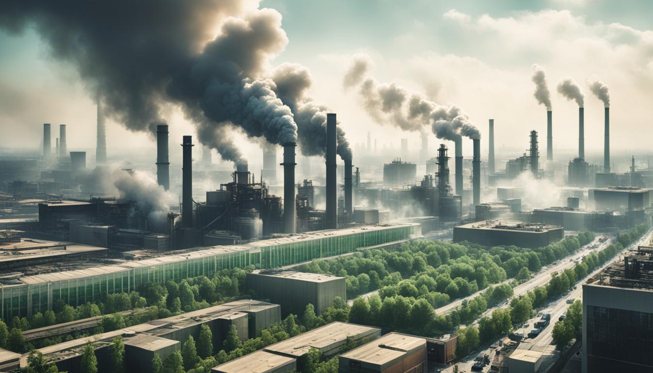
41. Natural sources of air pollution are
Correct Answer:-B ( Volcanic eruptions )
Description:- Some of the natural sources of air pollution are ground dust, salt spray from oceans, volcanic eruptions, hydrogen sulfides from natural sources, etc. Large amount of gases and ash from volcanic eruptions blacken the skies and increase the background pollution levels for years.
42. Which one of the following is the correct sequence of ecosystem in the order of decreasing productivity?
Correct Answer:-D ( Mangroves, grasslands, lakes, oceans )
Description:- Productivity is the rate of organic matter or biomass production. The average ocean productivity is about 50 grams carbon per square meter per year; while, the average land productivity is 160 grams carbon per square meter per year. Salt marshes and mangroves have one of the highest productivity of 3300-6000 grams carbon per square meter per year. So the correct sequence of ecosystem in the order decreasing productivity is: Mangroves > Grasslands > Lakes > Oceans.
43. Vergreen type Forests are found in :
Correct Answer:-D ( Equatorial region )
Description:- An evergreen forest is a forest consisting entirely or mainly of evergreen trees that retain green foliage all year round. Such forests reign in the equatorial region, between the tropics primarily as broadleaf evergreens, and in temperate and boreal latitudes primarily as coniferous evergreens.
44. The maximum biodiversity is found in
Correct Answer:-A ( Tropical rain forests )
Description:- Most of the terrestrial diversity is found in tropical rainforests. As per an estimation, these forests account for around 40%’ to 75%’ of all biotic species and are home to half of all the living animal and plant species on the planet. A single hectare of rainforest may contain 42,000 different species of insect, up to 807 trees of 313 species and 1,500 species of higher plants.
45. In _______ forests, trees shed their leaves in a particular season.
Correct Answer:-C ( deciduous )
Description:- Deciduous means “falling off at maturity” “ or “tending to fall off”. It is typically used in order to refer to trees or shrubs that lose their leaves seasonally most commonly during autumn and to the shedding of other plant structures such as petals after flowering or fruit when ripe. Common examples of deciduous trees include oak, maple, and hickory trees.
46. Biosphere refers to
Correct Answer:-C ( the portion of the earth, including the oceans, the land, the soil and the atmosphere inhabited by living organisms )
Description:- The biosphere is the global ecological system integrating all living beings and their relationships, including their interaction with the elements of the lithosphere, geosphere, hydrosphere, and atmosphere. The biosphere is made up of the parts of Earth where life exists. It is the worldwide sum of all ecosystems.
47. Which of the following phenomena is supposedly associated with global warming ?
Correct Answer:-A ( El Nino )
Description:- El Niño is an irregularly periodical variation in winds and sea surface temperatures over the tropical eastern Pacific Ocean. Scientists have found association with El Nino and global warming since El Nino events cause short-term spikes in global average surface temperature. For example, an increase in the frequency and magnitude of El Niño events have triggered warmer than usual temperatures over the Indian Ocean.
48. The one who is engaged in scientific drawing of maps is called
Correct Answer:-B ( Cartographer )
Description:- A person who draws maps and charts is a cartographer. Cartographers are persons specially trained in the art and skill of map and chart making. Cartographers, that is, those who draw and prepare charts, need a very good knowledge of geography and the related details, and should also have the art of illustrating the different features of a place very vividly and clearly by using different colors and symbols.
49. The science of map-making is
Correct Answer:-A ( Cartography )
Description:- Cartography (chartes or charax = sheet of papyrus (paper) and graphein = to write) is the study and practice of making maps. Combining science, aesthetics, and technique, cartography builds on the premise that reality can be modeled in ways that communicate spatial information effectively.
50. Instrument used for measuring area on maps is called
Correct Answer:-A ( Planimeter )
Description:- The planimeter is a drafting instrument used to measure the area of a graphically represented planar region. The region being measured may have any irregular shape, making this instrument remarkably versatile. In this age of CAD and digital images, the planimeter is heading toward obsolescence, but not just yet. They are still being manufactured.
51. The land of maximum biodiversity is
Correct Answer:-A ( Tropical )
Description:- A tropical rainforest is an ecosystem type that occurs roughly within the latitudes 28 degrees north or south of the equator (in the equatorial zone between the Tropic of Cancer and Tropic of Capricorn). This ecosystem experiences high average temperatures and a significant amount of rainfall. Tropical rainforests are unique in the high levels of biodiversity they exhibit. Around 40%’ to 75%’ of all biotic species are indigenous to the rainforests. Rainforests are home to half of all the living animal and plant species on the planet. Twothirds of all flowering plants can be found in rainforests. A single hectare of rainforest may contain 42,000 different species of insect, up to 807 trees of 313 species and 1,500 species of higher plants. Tropical rainforests have been called the “jewels of the Earth” and the “world’s largest pharmacy”, because over one quarter of natural medicines have been discovered within them.
52. Who coined the word ‘Geography’?
Correct Answer:-B ( Eratosthenese )
Description:- Eratosthenes of Cyrene was a Greek mathematician, geographer, poet, athlete, astronomer, and music theorist. He was the first person to use the word “geography” in Greek and he invented the discipline of geography as we understand it.
53. The art and science of map making is called
Correct Answer:-B ( Cartography )
Description:- Cartography is the study and practice of making maps. Combining science, aesthetics, and technique, cartography builds on the premise that reality can be modeled in ways that communicate spatial information effectively.
54. Which one of the following organisations is responsible for publishing topographical sheets?
Correct Answer:-D ( Survey of India (S.O.I.) )
Description:- The Survey of India produces a rich “base” of map information through systematic topographical surveys and the use of remote sensing images. Topographic maps provide the graphical portrayal of objects present on the surface of the earth. These maps provide the preliminary information about a terrain and thus very useful for engineering works.
55. What is the alternate name for contour lines ?
Correct Answer:-C ( Isohypse )
Description:- Isohypse is a line on a map that joins points of equal elevation. It is also known as contour line.
56. Contours are imaginary lines showing
Correct Answer:-C ( places of equal altitudes )
Description:- In cartography, a contour line (often just called a “contour”) joins points of equal elevation (height) above a given level, such as mean sea level. Contour lines are curved or straight lines on a map describing the intersection of a real or hypothetical surface with one or more horizontal planes. The configuration of these contours allows map readers to infer relative gradient of a parameter and estimate that parameter at specific places.
57. The imaginary lines joining places of same height at equal intervals are
Correct Answer:-B ( Contours )
Description:- In cartography, a contour line (often just called a “contour”) joins points of equal elevation (height) above a given level, such as mean sea level.
58. Imaginary lines joining places with same temperature are called
Correct Answer:-D ( Isotherms )
Description:- An isotherm is a line on a map or chart of the earth’s surface connecting points having the same temperature at a given time or the same mean temperature for a given period. Isotherm maps show where temperatures are relatively high and low, and also where temperature changes are gradual or dramatic over a distance.
59. What is meant by the term “midnight sun” ?
Correct Answer:-D ( Sun shining in the polar circle for long time )
Description:- The midnight sun is a natural phenomenon occurring in summer months at places north of the Arctic Circle and south of the Antarctic Circle where the sun remains visible at the local midnight. Around the solstice (June 21 in the north and December 21 in the south) and given fair weather the sun is visible for the full 24 hours. The number of days per year with potential midnight sun increases the farther towards either pole one goes.
60. The well through which water comes out through hydraulic pressure is called
Correct Answer:-D ( Artesian well )
Description:- Artesian Well refers to a type of well that normally gives a continuous flow, the water being forced upwards by hydraulic pressure.
61. Maps on large scale, representing both natural and man-made features are called
Correct Answer:-B ( Topographic maps )
Description:- A topographic map is a type of map characterized by large-scale detail and quantitative representation of relief, usually using contour lines in modern mapping, but historically using a variety of methods. A topographic map is typically published as a map series, made up of two or more map sheets that combine to form the whole map.
62. Contour line is the imaginary line joining places of equal :
Correct Answer:-C ( Elevation )
Description:- Contour line is a line on a map or chart joining points of equal height (elevation) or depth. Closely spaced contour lines indicate a steeper grade than the more loosely spaced lines.
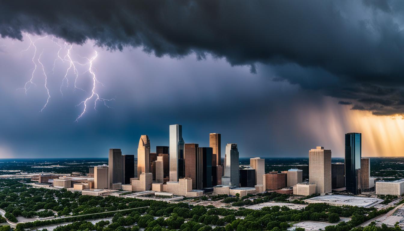
63. The primary goal of planning for disasters is to reduce
Correct Answer:-D ( Vulnerability )
Description:- Disaster planning is the creation of plans through which communities reduce vulnerability to hazards and cope with disasters. It does not avert or eliminate the threats; instead it focuses on creating plans to decrease the impact of disasters.